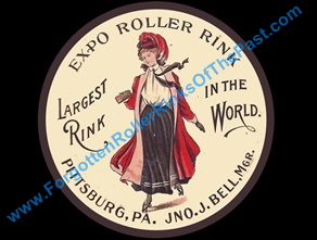
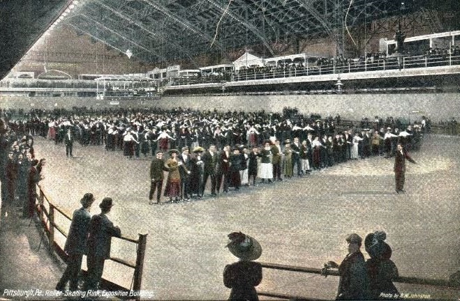
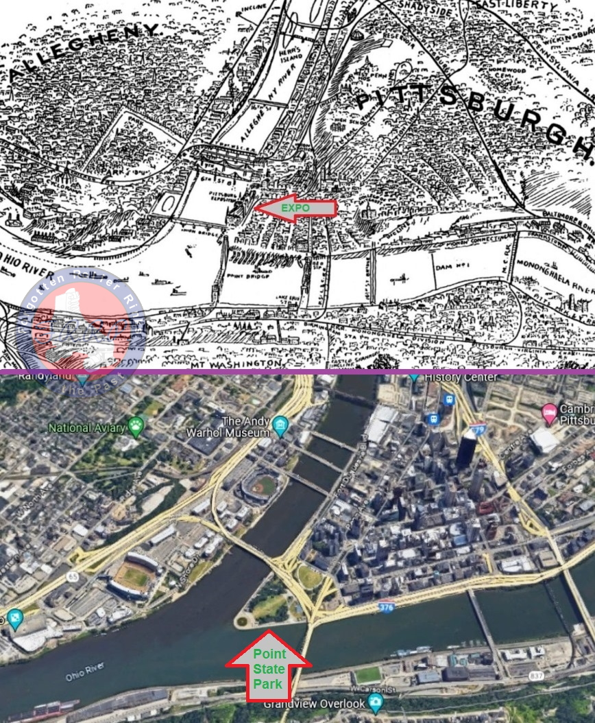
Expo Roller Rink, Duquesne Way (At The Point), Pittsburgh, PA
• Operator: Exposition Roller Skating Rink Co.[1], Pittsburgh Amusement Co.[2]
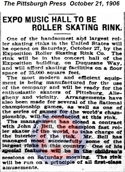
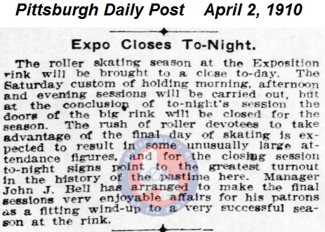
• Manager: John J. Bell[1] (1906-1910*)
• Floor size: 25,000 sq ft.[1]
• Floor type: Maple wood.[3]
• Primary reason for closing: "World War I and a polio epidemic."[8]
• Opened for roller skating: 1906[1] - 1910*
(*Last ad/article found for the Expo Roller Rink was 1910. Only ads for concerts followed.)
• By 1912, John J. Bell was the manager of Park View Roller Rink.[6]
A little Expo history:
The first Exposition took place in September 1889.
On Saint Patrick's Day in 1901, a fire destroyed or damaged the majority of the complex.
Most of the Exposition complex was rebuilt.
• The Exposition complex included three main buildings.[8]
1. Machinery Hall, (Provided ice for the Main Hall's rink. 1915-1916).
2. Main Hall, (Pittsburgh Winter Garden ice rink. 1915-1916).
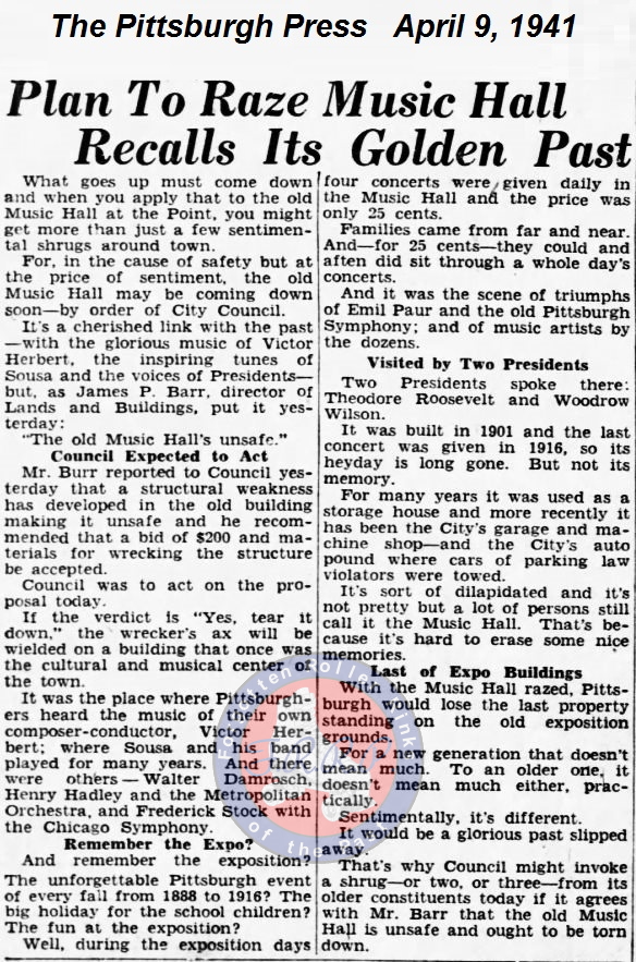
3. Music Hall, (Expo Roller Rink. 1906-1910).
• The entire Expo ended in 1916.[5]
"Just when the future of the Exposition Hall and Winter Garden looked to be reviving, a series of events led, instead, to it's demise. The Pittsburgh Winter Garden hockey franchise folded after just one season. World War I and a polio epidemic forced the cancellation of the annual Exposition in 1917. The Winter Garden remained in operation for the next three years, and the remaining buildings began to fall into a state of disrepair.
The Western Pennsylvania Exposition Society, in March 1919, voted to accept $360,000 from the city and give up the remaining seventeen years of its fifty-year lease of the six acres on which the buildings were located.[8]
"The Music Hall was demolished in 1941 to secure scrap metal for the World War II effort."[8]
• Today, the area is known as, Point State Park.
There are many "history" sites on the internet covering the Expo and appear to be reading from the same book (Not doing their own homework). And of course, no mention of ever having roller skating.
Photo at top is a 1909 postcard.